Overview
Standing at 12,614 feet, Lone Cone Peak is the westernmost peak of Colorado’s San Juan Mountain range. The extinct volcano, which formed approximately 65 million years ago during the San Juan’s volcanic geologic history, is Norwood’s most prominent, local landmark.
The nearly five-mile round trip climb up Lone Cone Peak isn’t for the faint of heart and isn’t recommended for novice mountain climbers. Those who summit are rewarded with 360-degree views of the Four Corners region and mountain ranges including the Sneffels Range near Ridgway, CO, Wilson Range in the Lizard Head Wilderness between Telluride and Rico, CO, the La Plata Mountains near Durango, CO, Sleeping Ute Mountain near Cortez, CO, the Abajo and La Sal Mountains of southeast Utah and the Chuska Mountains of northeast Arizona.
Getting There
Trailhead Coordinates: N37°54.390′, Longitude: W108°14.488′. A high clearance vehicle is recommended.
From Norwood, travel east on Hwy 145 for 1.4 miles.
Turn south (right) onto County Road 44ZS, (Lone Cone Road) and continue south on 44ZS for 11.6 miles.
Turn east (left) onto County Road M44, (Beef Trail Road) and proceed for approximately 2.4 miles.
Turn south (right) onto County Road 46M and travel for 5 miles until the road becomes Forest Road #611 at the National Forest boundary.
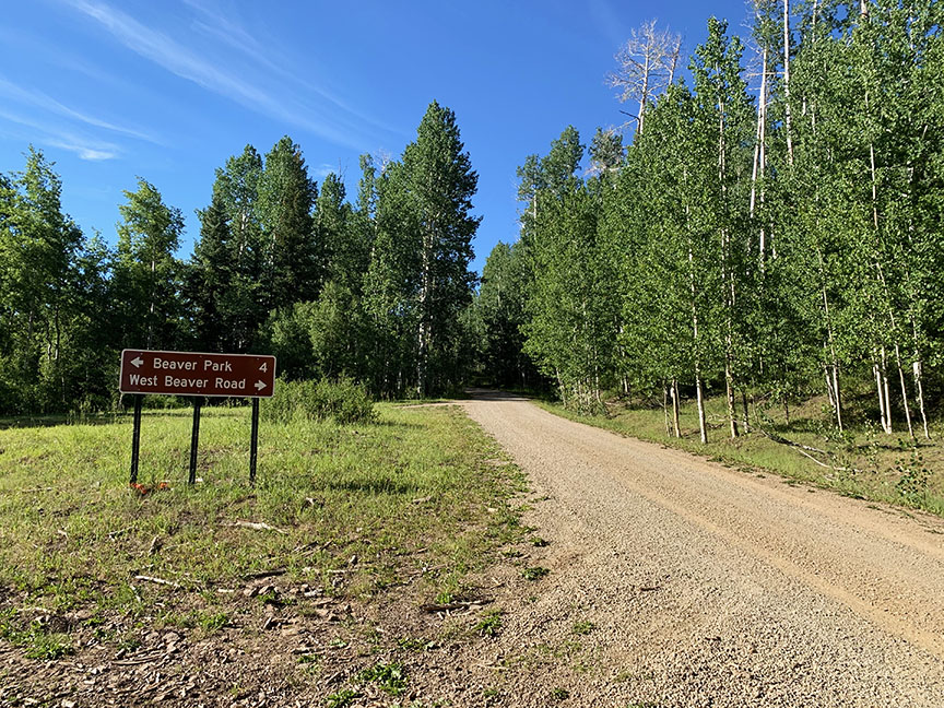
After the National Forest boundary, turn south (right) at the intersection with Forest Road #615. Follow Forest Road #615 for 1.6 miles, then turn west (right) onto Forest Road #612.
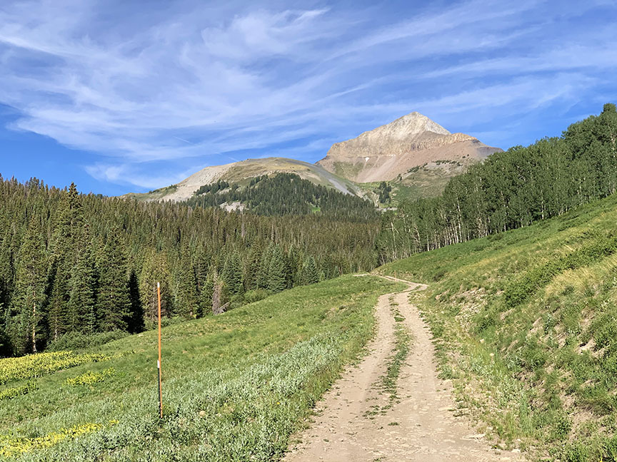
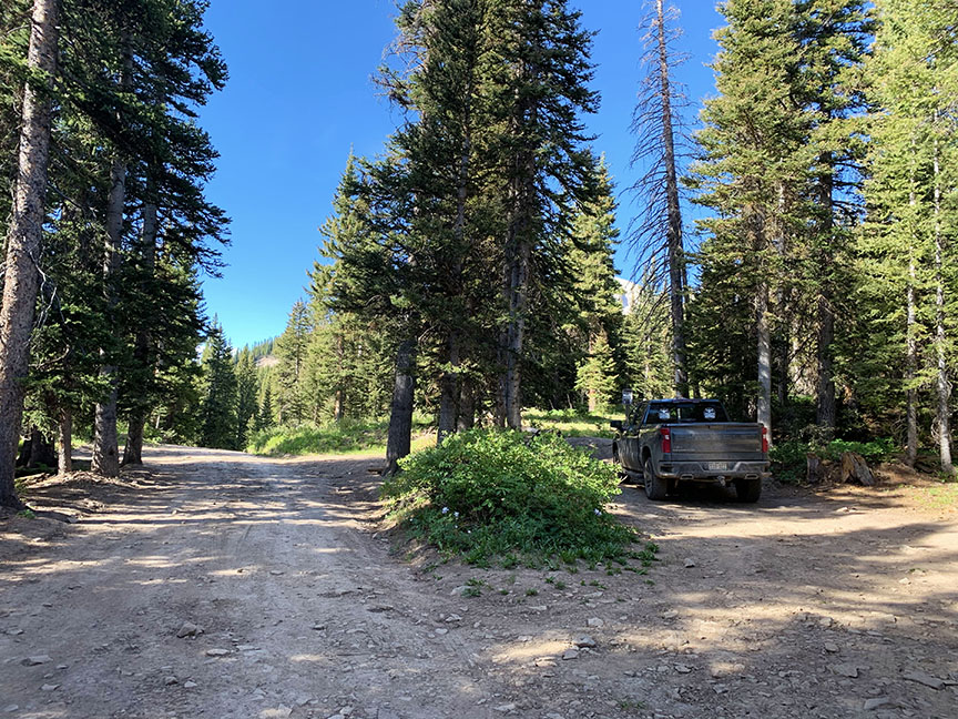
Continue on #612 for 3.8 miles. Keep right the intersection with Forest Road #612.1b and continue for about a mile where you’ll find a little pull off to a closed road on your left. Park at the vehicle barrier.
The Route
Difficulty: Moderate
Length: 5 miles (round trip)
Time: 3-5 hours
Starting Elevation: 10,800 feet
Elevation Gain/Loss: 1,911 feet
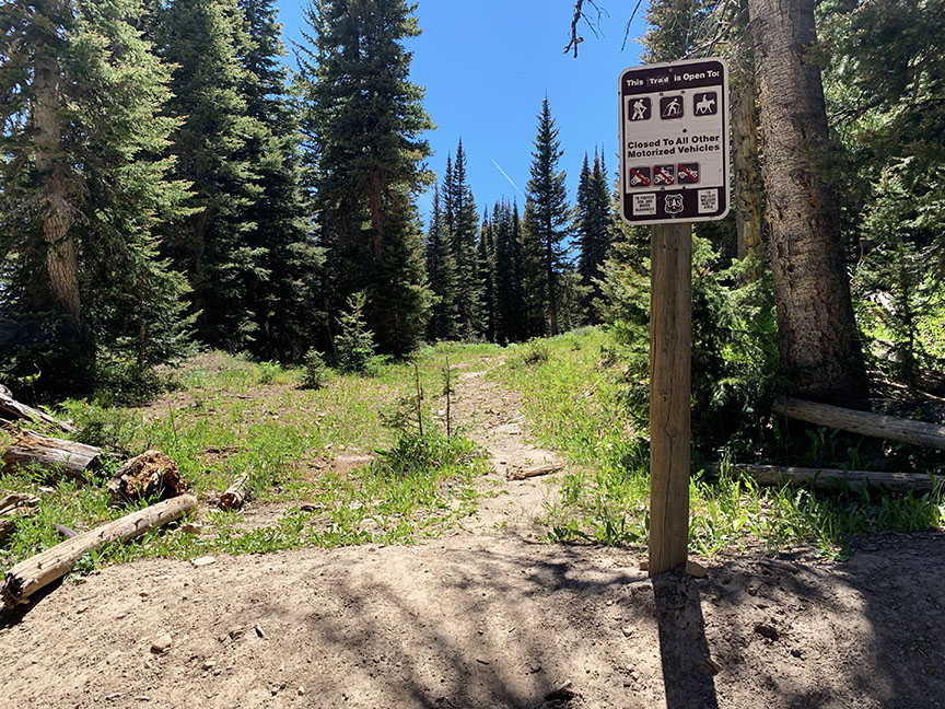
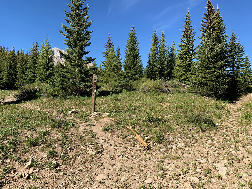
From the vehicle barrier, walk the trail along an old logging road for approximately a 0.2 miles until you come across a trail sign on the left.
Continue to follow the trail through the forest. After approximately 1.3 miles, you will come to a clearing where the forest opens up to an impressive view of Lone Cone Peak and the Devil’s Chair.
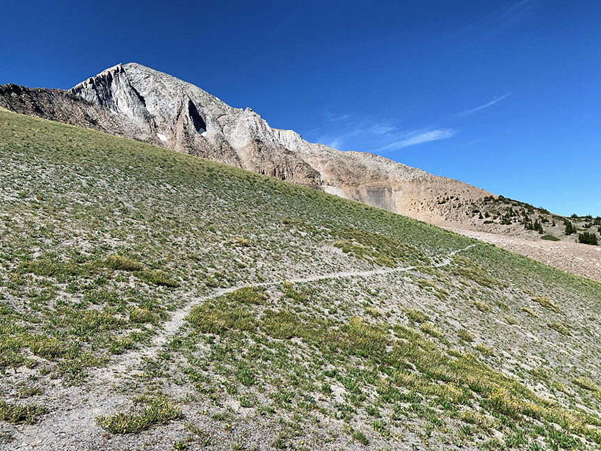
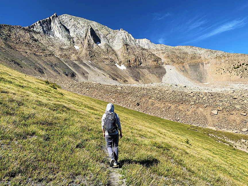
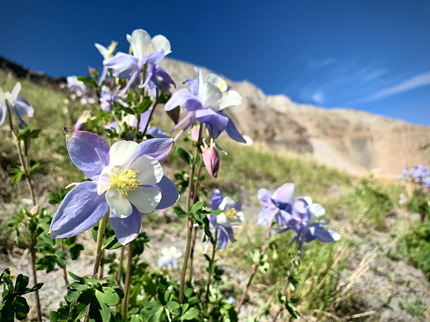
From here, the trail remains clear to the right. Continue along the trail to the west, through a meadow full of wild flowers until you come to the base of the Devil’s Chair. As you approach the expansive talus field, the trail dissipates and route becomes essential from this point on.
Carefully choose your way up the loose rock to the top of the talus field. From here your goal is to make your way across the Devil’s Chair to the other side of the talus field where the North Ridge begins.
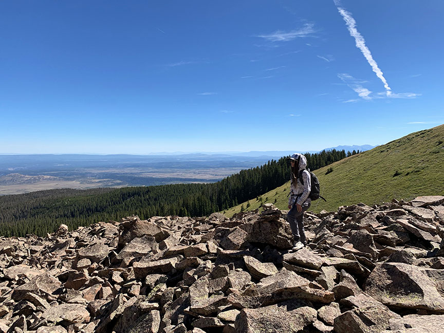

There isn’t a clear path, however, previous hikers have made cairns (rock piles) to help you find your way. Follow the cairns until you reach the opposite side of the talus field.
Once you’ve successfully made your way across the talus field, make a short climb up through the alpine shrubbery to the North Ridge. From here, people have created multiple trails through the shrubbery. Pick the most prominent trail and make your way up to the rocky talus.
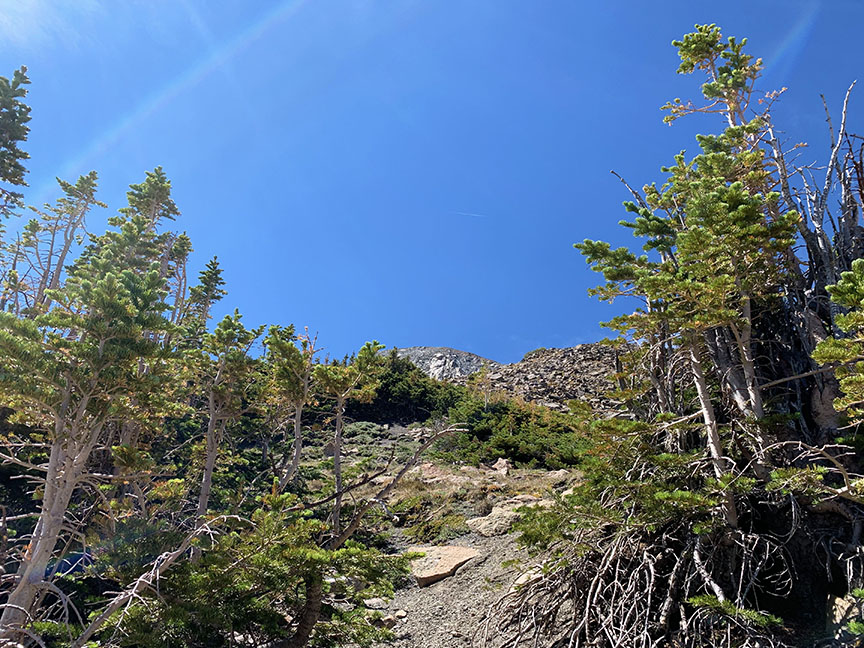
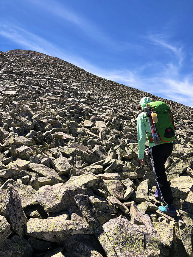
Once you’ve reached the rocky talus, the trail dissipates and route finding becomes essential once again. There is little exposure on the route as you make your way to the summit, but the climb can be quite dangerous as the entire peak is covered in loose rock.
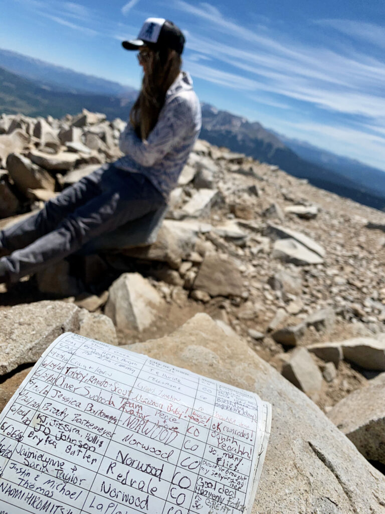
Words Of Wisdom
It’s important to note that there is no trail above timberline and the route is very rocky. While there is very little exposure on the route, the extremely loose rock can be very dangerous. It is important to follow the ridge line very closely and not stray off onto its flanks due to the loose rock. Due to its prominence as it rises from the surrounding mesa lands, the peak is known to attract lightning. Caution is advised in planning for the weather. Afternoon thunderstorms can form very quickly in Colorado, it’s recommended to be off the summit and back down below tree line before noon.
Also, in case of emergency, it is recommended that each person who ventures into the backcountry carries a Colorado Search and Rescue card, which helps local sheriff’s departments and search and rescue teams by reimbursing the expenses of search and rescue missions. This card is also included with Colorado hunting and fishing licenses.
Wondering what else there is to do around Norwood? Click here to learn about recreation opportunities around Wright’s Mesa!
Parting Shot
References
https://www.summitpost.org/lone-cone/151801
https://www.alltrails.com/explore/recording/lone-cone-norwood-co